The Kamnik–Savinja Alps reign above the town of Kamnik, from which they also get their name. They are a mountain range in the north of Slovenia and form part of the Southern Limestone Alps. Approximately 75 percent of the area is covered by forest, while the peaks are bare and rocky, the highest among them being Grintovec, which rises to 2,558 meters. The peaks are very popular among hikers, but some of the routes are highly demanding and require proper skills and equipment.
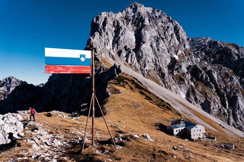
The Kamnik–Savinja Alps have become a favorite spot for geocachers, offering plenty of hidden geocaches scattered throughout the rugged landscape. The most iconic landmark is the Kamnik saddle, nestled between the peaks of Planjava and Brana. This distinctive view will also be featured on the official geocoin of the Kamnik Block Party event.
For experienced and fit hikers, the ascent to the Kamnik saddle can be a pleasant morning hike, with the trail itself being relatively easy and not technically demanding. At the saddle, geocachers can discover the traditional geocache, adding an extra layer of excitement to this beautiful mountain spot.
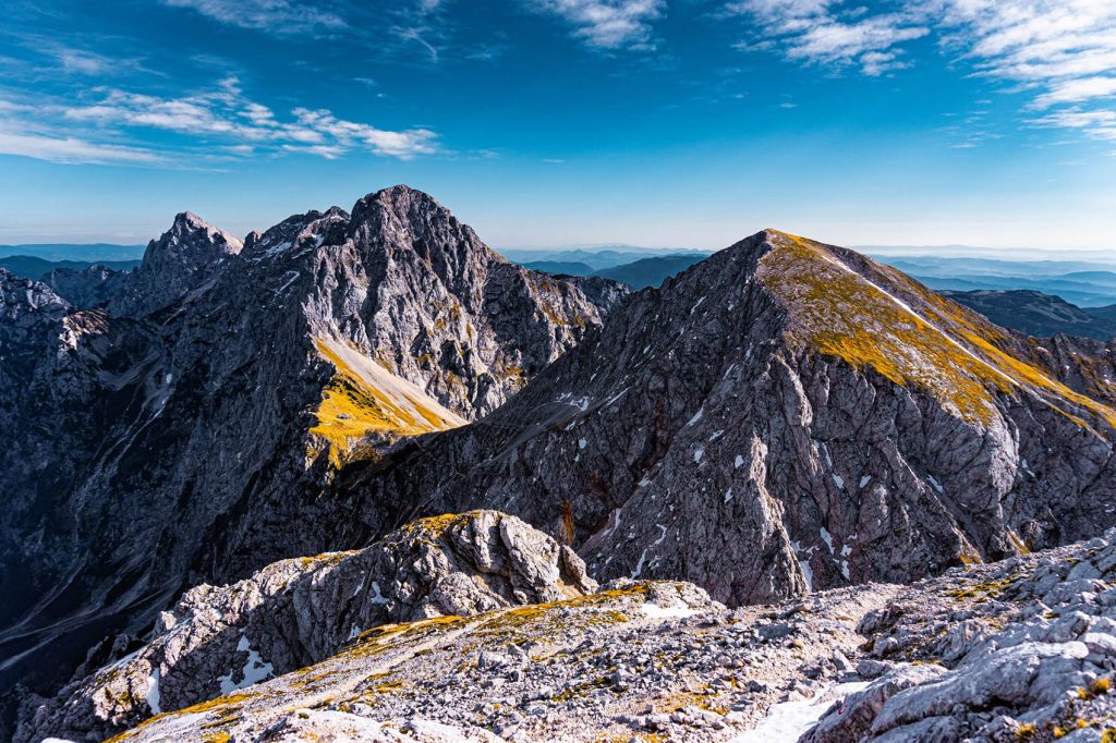
Rising majestically above the saddle are the peaks of Brana (2,253 meters) and Planjava (2,394 meters), each presenting a more demanding and rewarding climb for experienced hikers. Both summits boast their own geocaches, offering an exciting challenge for geocachers eager to explore the heights of the Kamnik–Savinja Alps.
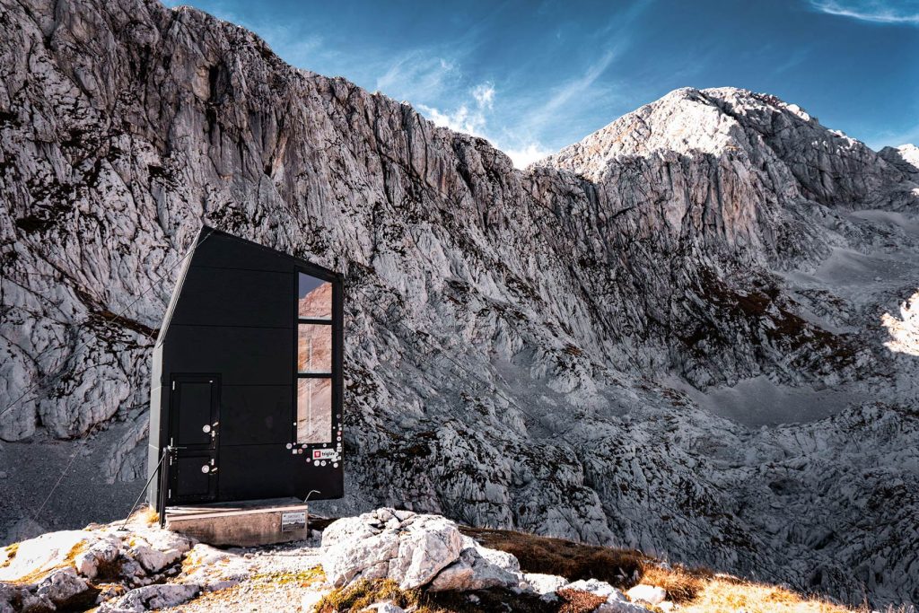
On a global scale, the Kamnik–Savinja Alps are perhaps best known for the modern and striking bivouac beneath Skuta. However, it’s important to note that the ascent to this shelter is steep, long, and challenging—definitely not suited for everyone. For those who make the journey, a traditional geocache awaits at the bivouac.
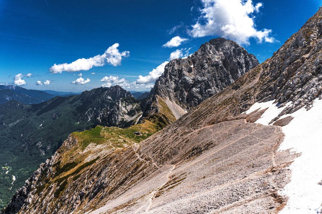
You can continue the trail via the Turski žleb up to Turska gora (2,251 meters), where an unforgettable view of the Kamnik saddle and the surrounding peaks unfolds before you and, of course, two more geocaches. The first one at Turski žleb, the other on top of Turska gora.
When speaking of the Kamnik–Savinja Alps, one cannot overlook its highest peak, Grintovec. The ascent to Grintovec is a full-day, physically demanding trek that should never be taken lightly, no matter which route you choose. At the summit, a geocache awaits, while deep down below it you’ll find another magnificent bivouac shelter.
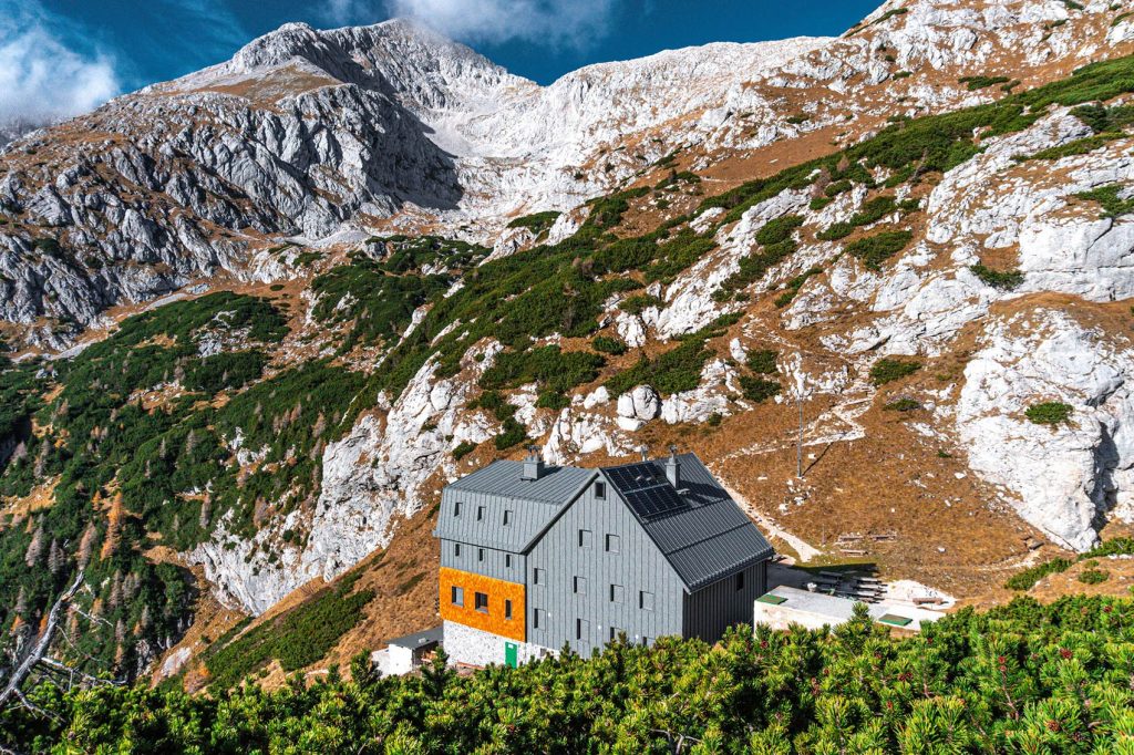
The easiest—yet still physically demanding—route to Grintovec is via the Kokra Saddle, where another geocache and a large mountain hut welcome you.
Of course, there are so many unforgettable peaks, trails, panoramic views and geocaches throughout the Kamnik–Savinja Alps that it’s impossible to capture them all in a single post. This is just a brief glimpse to give you a sense of the stunning mountain world that lies up above Kamnik. Whether you’re seeking rugged peaks, scenic passes, or hidden treasures (including geocaches), this magnificent mountain range promises experiences that stay with you long after you leave.